Ordnance Survey Explorer OL10 Map Arundel & Pulborough
Ordnance Survey Explorer OL10 Map Arundel & Pulborough
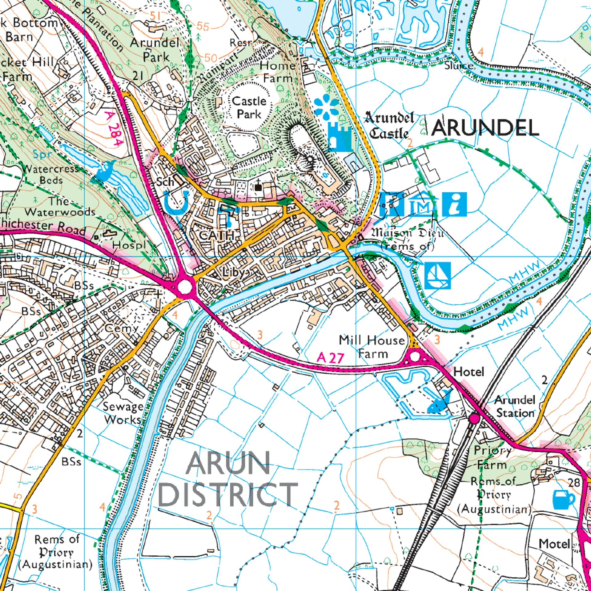
This Ordnance Survey Explorer OL10 Map is ideal for walkers, climbers, horse riding, and off-road cycling with its detailed paper folded map. Whether you're exploring, Arundel & Pulborough, Worthing & Bognor Regis, you'll have all the information you need at your fingertips. Rights of way, fences, permissive paths and bridleways are clearly shown, ensuring you have the best information to get the most out of your time in the countryside. Perfect for outdoor enthusiasts.
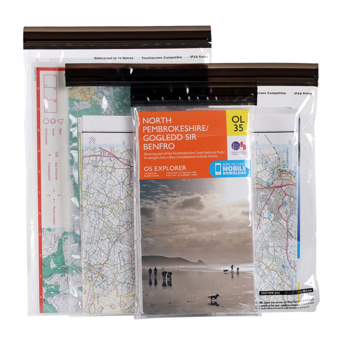
This map now comes with a digital version which you can download to your smartphone or tablet.
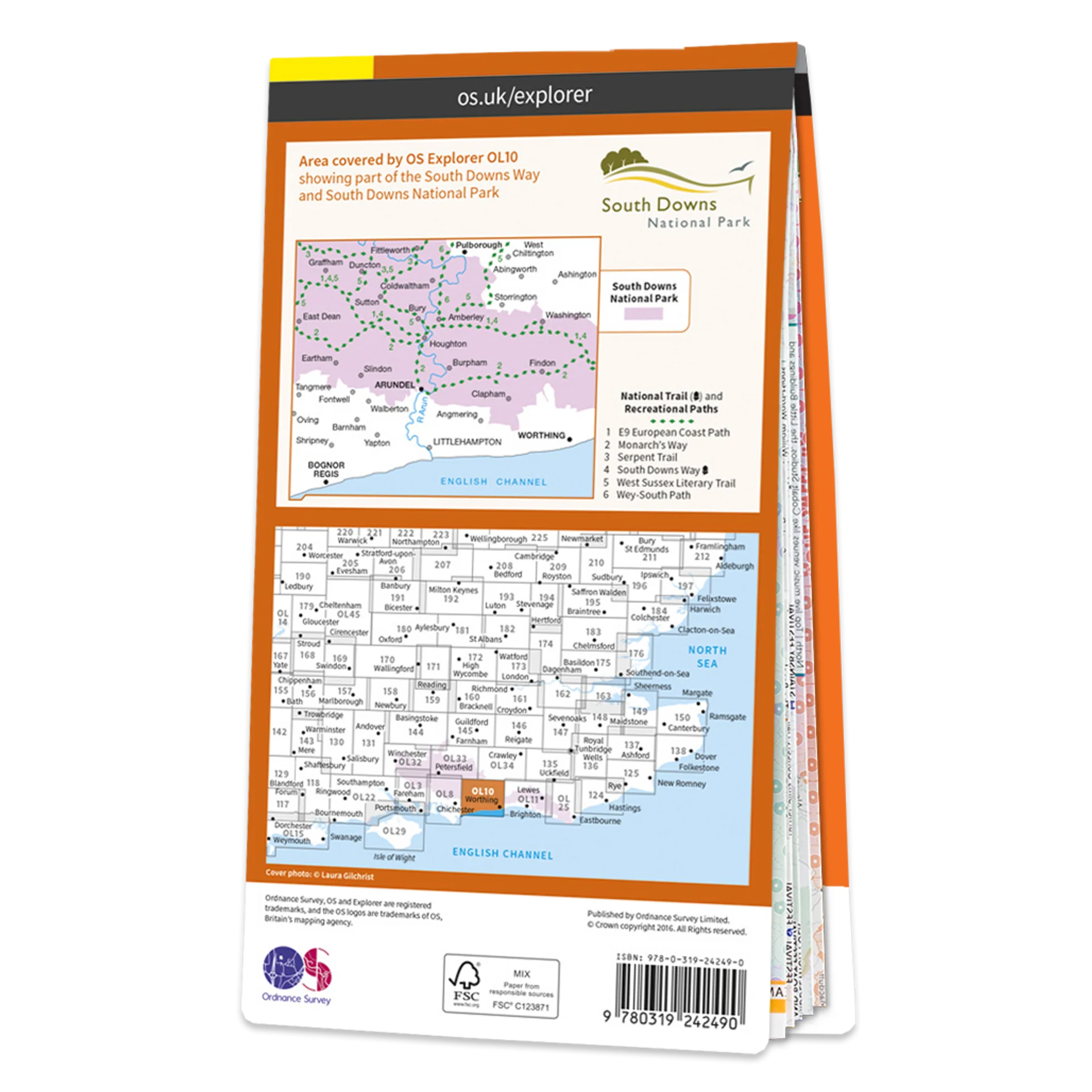
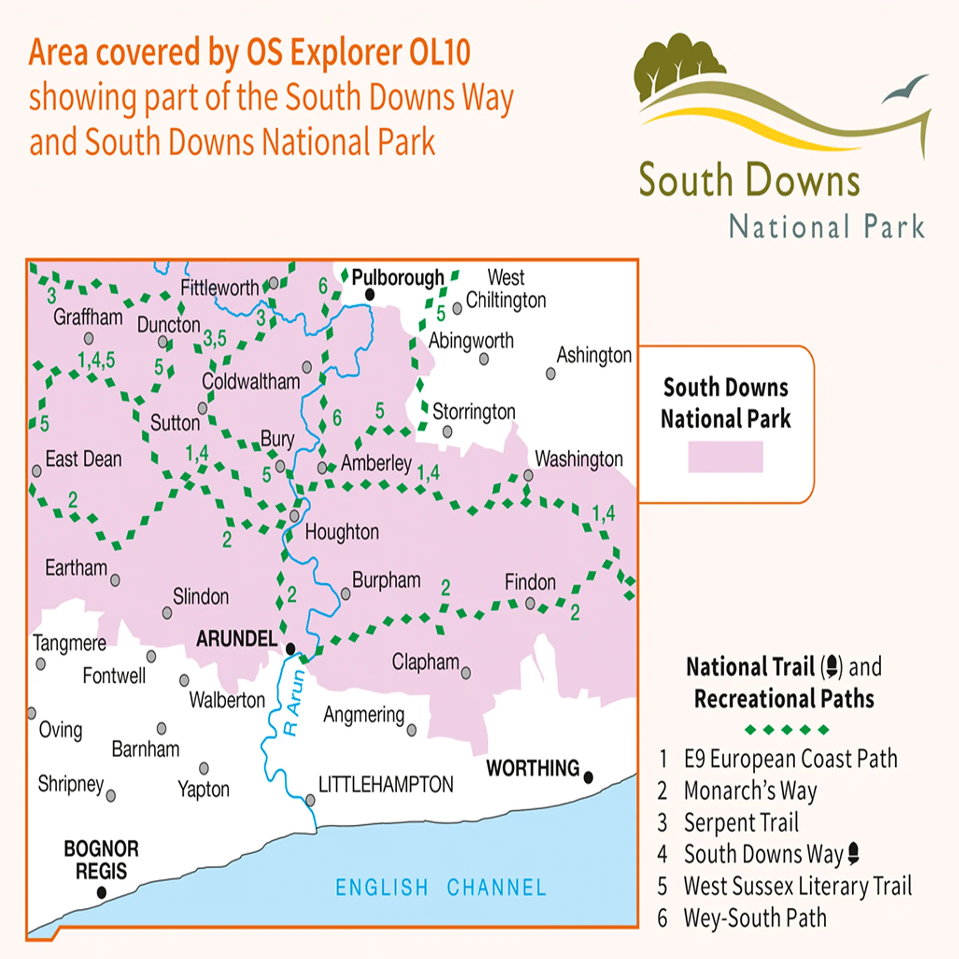
The OS Explorer map of Arundel & Pulborough, including Worthing and Bognor Regis. Map sheet OL10 replaces OS Explorer 121, and is a must-have when visiting the area.
Featuring:
- South Downs
- South Downs Way
- Wey-South Path
- Monarch's Way (Book 3)
- South Downs Way (National Trail)
- West Sussex
- Bognor Regis
- Littlehampton
- Worthing
- 1:25 000 scale (4 cm to 1 km – 2.5 inches to 1 mile)
Product Information
Product Information
Shipping & Returns
Shipping & Returns

Ordnance Survey Explorer OL10 Map Arundel & Pulborough
Ordnance Survey Explorer OL10 Map Arundel & Pulborough
Ordnance Survey Explorer OL10 Map Arundel & Pulborough
This Ordnance Survey Explorer OL10 Map is ideal for walkers, climbers, horse riding, and off-road cycling with its detailed paper folded map. Whether you're exploring, Arundel & Pulborough, Worthing & Bognor Regis, you'll have all the information you need at your fingertips. Rights of way, fences, permissive paths and bridleways are clearly shown, ensuring you have the best information to get the most out of your time in the countryside. Perfect for outdoor enthusiasts.
This map now comes with a digital version which you can download to your smartphone or tablet.
The OS Explorer map of Arundel & Pulborough, including Worthing and Bognor Regis. Map sheet OL10 replaces OS Explorer 121, and is a must-have when visiting the area.
Featuring:
- South Downs
- South Downs Way
- Wey-South Path
- Monarch's Way (Book 3)
- South Downs Way (National Trail)
- West Sussex
- Bognor Regis
- Littlehampton
- Worthing
- 1:25 000 scale (4 cm to 1 km – 2.5 inches to 1 mile)
Product Information
Product Information
Shipping & Returns
Shipping & Returns
Description
Ordnance Survey Explorer OL10 Map Arundel & Pulborough
This Ordnance Survey Explorer OL10 Map is ideal for walkers, climbers, horse riding, and off-road cycling with its detailed paper folded map. Whether you're exploring, Arundel & Pulborough, Worthing & Bognor Regis, you'll have all the information you need at your fingertips. Rights of way, fences, permissive paths and bridleways are clearly shown, ensuring you have the best information to get the most out of your time in the countryside. Perfect for outdoor enthusiasts.
This map now comes with a digital version which you can download to your smartphone or tablet.
The OS Explorer map of Arundel & Pulborough, including Worthing and Bognor Regis. Map sheet OL10 replaces OS Explorer 121, and is a must-have when visiting the area.
Featuring:
- South Downs
- South Downs Way
- Wey-South Path
- Monarch's Way (Book 3)
- South Downs Way (National Trail)
- West Sussex
- Bognor Regis
- Littlehampton
- Worthing
- 1:25 000 scale (4 cm to 1 km – 2.5 inches to 1 mile)